
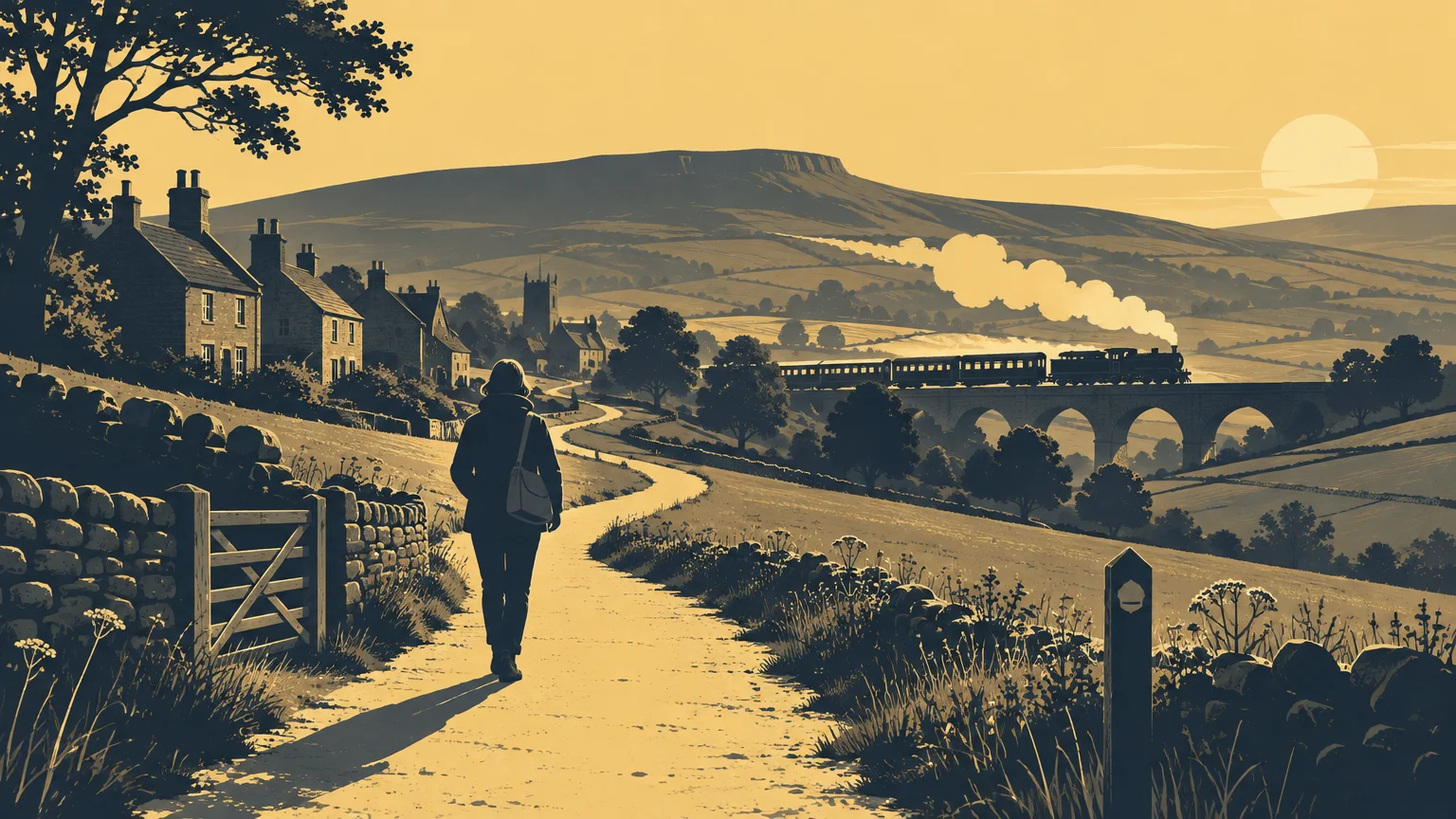
TLDR: For anyone exploring how village footpaths community life fit together, the answer is found in everyday connections. Paths help people reach neighbouring streets, fields, railway stations and surrounding countryside without treating every journey as a drive. They also preserve traces of how Oakworth developed. Use them responsibly: check the official rights-of-way map, distinguish public paths from private tracks, prepare for changeable conditions and report genuine obstructions through the proper authority.
A footpath can look modest: a fingerpost beside a wall, a narrow ginnel between houses or a trodden line crossing a field. Yet these small passages form part of a village’s connective tissue. Visitors may value the view, but residents also use local paths for exercise, conversation, dog walking and short journeys. In Oakworth, they help tie the built village to the Worth Valley landscape and its railway history.
Village footpaths, community life and everyday connections
The value of a village path is not measured only by the number of walkers carrying maps. A useful path creates choices. It may offer a quieter way to move between parts of the village, provide access to nearby countryside or make a circular walk possible from home. Even when it is used only occasionally, its existence keeps the village more permeable.
Paths also create the sort of unplanned encounters on which village life quietly depends. People pause at gates, exchange news and notice changes in the landscape. A fallen branch, damaged sign or blocked stile is more likely to be spotted when a route forms part of ordinary local life. Regular use does not replace formal maintenance, but it gives the community an informed interest in the condition of its shared routes.
This matters for people who do not think of themselves as dedicated walkers. A short outing can provide low-cost outdoor time without the planning required for a full day on the moors. Families can introduce children to maps and countryside behaviour close to home. New residents can learn how streets, fields, old buildings and valley contours relate to one another.
Know what kind of route you are using
Not every visible track is a public footpath. Bradford Council explains that public rights of way can include paths, tracks, ginnels and snickets used for recreation and everyday journeys. It also warns that a route not recorded as a public right of way may be private, even if it looks well used. The council’s public rights of way guidance is therefore a sensible starting point before following an unfamiliar line across land.
| Route type | Who may normally use it | What walkers should remember |
|---|---|---|
| Public footpath | People on foot | Stay on the recorded line and do not assume that cycling or horse riding is permitted. |
| Public bridleway | Walkers, horse riders and cyclists | Walkers may meet faster cyclists or horses, so allow room and pass considerately. |
| Restricted byway | Walkers, horse riders, cyclists and non-motorised vehicles | The surface may still be rough, muddy or unsuitable for some users. |
| Private or permissive route | Only those allowed by the owner or the stated permission | A worn track, open gate or old map does not by itself establish a current public right. Permission may carry conditions. |
Legal status and physical suitability are separate questions. A route can be a public footpath yet contain steep gradients, mud, narrow gates or uneven stone. Conversely, a broad and inviting track can be private. Check the current council map and statement when status matters, then assess the actual conditions against the needs of everyone in your group.
Paths help explain how Oakworth grew
Oakworth’s paths belong to a much older pattern of movement through the Worth Valley. Bradford Council’s conservation assessment describes the settlement’s development along an old route and identifies the surrounding countryside, valley contours and historic movement routes as important parts of its character. It records Oakworth on John Ogilby’s 1675 survey of district highways and as a linear settlement on Jefferys’ map of 1775.
Before turnpike roads changed overland travel, movement in the district relied heavily on unsurfaced packhorse tracks and footpaths. That history helps explain why old routes deserve attention, but it must not be used carelessly. An old-looking hollow way or stone track is not automatically ancient, and historic use does not prove that the route carries a public right today. Historic maps are evidence of a changing landscape, not a substitute for the current definitive record.
Walking can nevertheless reveal relationships that are difficult to appreciate through a car window. The slope of a street, the alignment of a wall and the position of former industrial or railway features begin to make sense as parts of one landscape. Our account of how mills shaped Oakworth and the Worth Valley offers further context for reading waterways, housing, railway infrastructure and former working sites together.
The railway gives local walking another layer
Oakworth Station opened in 1867, closed to passenger traffic in 1962 and reopened as part of the preserved Keighley & Worth Valley Railway in 1968. Its survival means that the relationship between railway and village can still be experienced rather than merely imagined. The station’s continuing significance is explored in why Oakworth Station still matters to the village.
The railway identifies a walking connection of a little over one mile between Oakworth and Haworth as part of its Railway Children material. It also presents a longer themed walk of 6.5 miles and warns that the longer option is unsuitable for less-mobile visitors, wheelchair users and pushchairs. These are important distinctions: a short distance does not guarantee a level surface, while a themed walk may demand more time and mobility than a station visit. Check the railway’s current information and local route conditions before travelling.
Visitors combining trains, walking and literary history can use our Oakworth and Haworth day-trip planner to decide whether a station-focused visit or a longer walking day better suits their group. Operating days, train times and route conditions can change, so they should be checked shortly before departure.
Footpaths carry memory as well as footsteps
A familiar route can hold many layers of local memory: the way to school, a former mill connection, a field crossed by generations or the first stretch of a walk towards a neighbouring settlement. These associations help residents understand that heritage is not confined to listed buildings. It also survives in movement, viewpoints and the spaces between landmarks.
Interpretation projects can make those layers visible, but they should distinguish clearly between history and access. The Men of Worth Project’s Oakworth Remembrance Trail uses boards around the village to mark homes associated with local people who died in the two world wars. It is a valuable example of community memory placed back into the streets where lives were lived. It should not, however, be assumed to certify a public footpath route unless the relevant access status has been checked separately.
Schools and local groups can apply the same careful principle. Begin with a confirmed route or public place, research one well-supported story at each stopping point and explain uncertainty honestly. A date, occupation or former building use should come from a reliable record. Access instructions should come from current mapping and land-management information. For groups considering signs or digital interpretation, our guide to using QR code stickers on heritage trails covers the practical planning questions.
A responsible checklist for Oakworth paths
- Check the current Bradford Council rights-of-way map before relying on an unfamiliar route. Do not treat an online trace, old map or worn shortcut as proof of public access.
- Look for the recorded route type. Footpaths, bridleways and restricted byways permit different kinds of use.
- Check recent weather and local notices. Pennine rain can make stone, grass and unsurfaced ground slippery or muddy.
- Wear footwear suited to uneven and wet surfaces, and carry an extra layer when conditions are changeable.
- Keep to the recorded line, especially across fields. Walking around mud can widen a path or stray onto private land.
- Leave gates as you find them unless a sign instructs otherwise, and keep dogs under close control around livestock.
- Take litter home and avoid disturbing walls, signs, crops and field boundaries.
- If a sign, gate or route appears obstructed, record the location and report it through the relevant council channel rather than forcing a new line across adjoining land.
Families should make decisions for the least mobile member of the group, not the keenest walker. Distance is only one factor. Gradients, stiles, livestock, exposed sections, road crossings and the lack of a convenient turning point can all change whether an outing is suitable. A short, confirmed route completed comfortably is more rewarding than an ambitious circuit abandoned after conditions deteriorate.
Where to begin without inventing a route
Bradford Council lists self-guided Worth Valley walking material, including a 4.5-mile route north and west of Oakworth and a 4-mile route from Oakworth to Keighley. These published routes offer a better starting point than an improvised description based on memory, although walkers should still check current notices and conditions.
Choose according to the day rather than the title alone. Consider available daylight, recent rain, the ability of the whole group and how everyone will return. If the railway forms part of the outing, verify its current timetable before building the walk around a train. If accessibility is essential, seek route-specific information instead of assuming that a promoted walk is step-free or suitable for wheels.
Treat the path as part of the village
Footpaths matter because they connect more than points on a map. They join daily movement to local history, bring residents into contact with the landscape around them and allow visitors to encounter Oakworth at a human pace. Their modest scale is part of their value: a snicket or field crossing can preserve a useful connection long after the reason it first developed has faded.
A practical next step is simple. Select one short route shown on current official mapping, check the weather and walk it without trying to turn the outing into an expedition. Notice one historic feature along the way—a wall line, a view towards the railway or the shape of the older settlement. If you encounter a genuine access problem, note its exact location and report it. That combination of curiosity, care and accurate information is how a path remains part of village life rather than merely a line through it.